
Every kilometre captured and classified with precision, without disrupting traffic.
Capture, asset register and inspection of highway assets with a methodology consolidated over more than 38 years, applied in concessions, public agencies and consultancy projects.
The Physical Infrastructure Survey pillar brings together the services that turn the network into a database: continuous capture in georeferenced 360° video (CVS), the asset register built on that video, and condition inspections — from routine inspection to bridges and structures (DNIT 010/2004) and retroreflectivity.
The logic is one and the same: a single field pass, at traffic speed, feeds every deliverable. That is how the concession obligation, the public database and the due diligence receive the same data standard — consolidated across 9+ states and 100,000+ km surveyed.
Continuous Visual Survey
Periodic network inventory in georeferenced 360° video, without disrupting traffic.
See the service →Asset Inventory
Complete asset inventory with export to GIS systems.
See the service →Inspection
Bridges and structures, routine inspection and retroreflectivity, integrated into the capture.
See the service →One field pass
Capture at normal traffic speed, with no extra mobilisation per service.
Georeferenced 360° video
Every frame tied to a coordinate and a capture date.
Standardised deliverables
GIS, ViDA and reports to the same standard in every contract.
- 38+ years
- of practice
- 100,000+ km
- surveyed
- Ladybug 30 MP
- 360° camera
Related projects
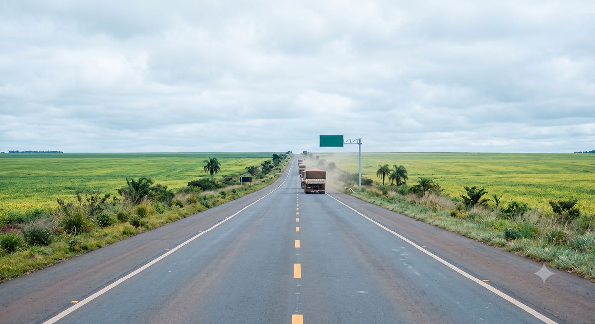
Via Araucária (PR) — 360° video record
Georeferenced continuous visual survey in both directions, including frontage roads and interchanges.
- 1,050 km
- main line, interchanges and frontage roads
- 2 directions
- of traffic
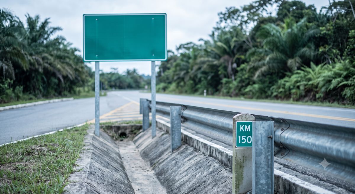
Digital Mapping of the State of São Paulo
Complete register of signage, bridges and structures, safety elements and remaining assets across the state network.
- 12,000 km
- registered
- SHP/CSV
- export
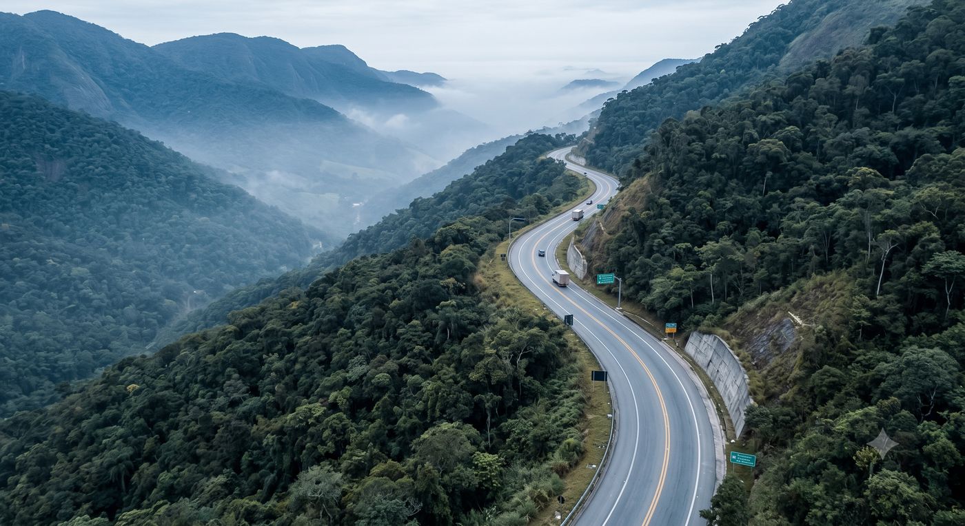
AFIRMA EVIAS — Paranapanema lot
360° video record and detailed visual survey with the OMNI7 platform made available in the cloud for continuous monitoring of the capture.
- 1,425 km
- main line, interchanges and frontage roads
- 2 directions
- bidirectional coverage
Need to survey, register or inspect your network?
One field pass covers all three fronts. Talk to a specialist.