
Reliable periodic inventory without disrupting traffic.
Georeferenced 360° capture for concessionaires, public agencies and consultancies that need up-to-date primary data on the network — meeting the periodic inventory obligation without disrupting traffic.
When to engage
Mandatory periodic inventory
The concession must survey the network at intervals set by the supervising agency. A precise, georeferenced record of network assets, with a capture date.
Primary data for a design or report
A complete and up-to-date database for your study.
Video captured, inventory pending
Your team has already filmed the network in 360° but the material has not yet become a classified, georeferenced inventory database? Talk to us.
Sub-services — Continuous Visual Survey
Georeferenced 360° capture
Bidirectional 360° video with RTK/PPP GPS and an inertial system (INS) covering the whole network in a single pass at traffic speed. Mobile mapping applied to road survey.
Field monitoring and quality control (OMNI7)
The OMNI7 platform follows the capture in real time, with quality control by operator and by frame.
Processing of third-party video (BYO data)
We classify 360° video already captured by your team (bring your own video), applying the same register quality standard.
How we deliver
Coverage planning
Routing by section and direction, with a capture window agreed with the road operator.
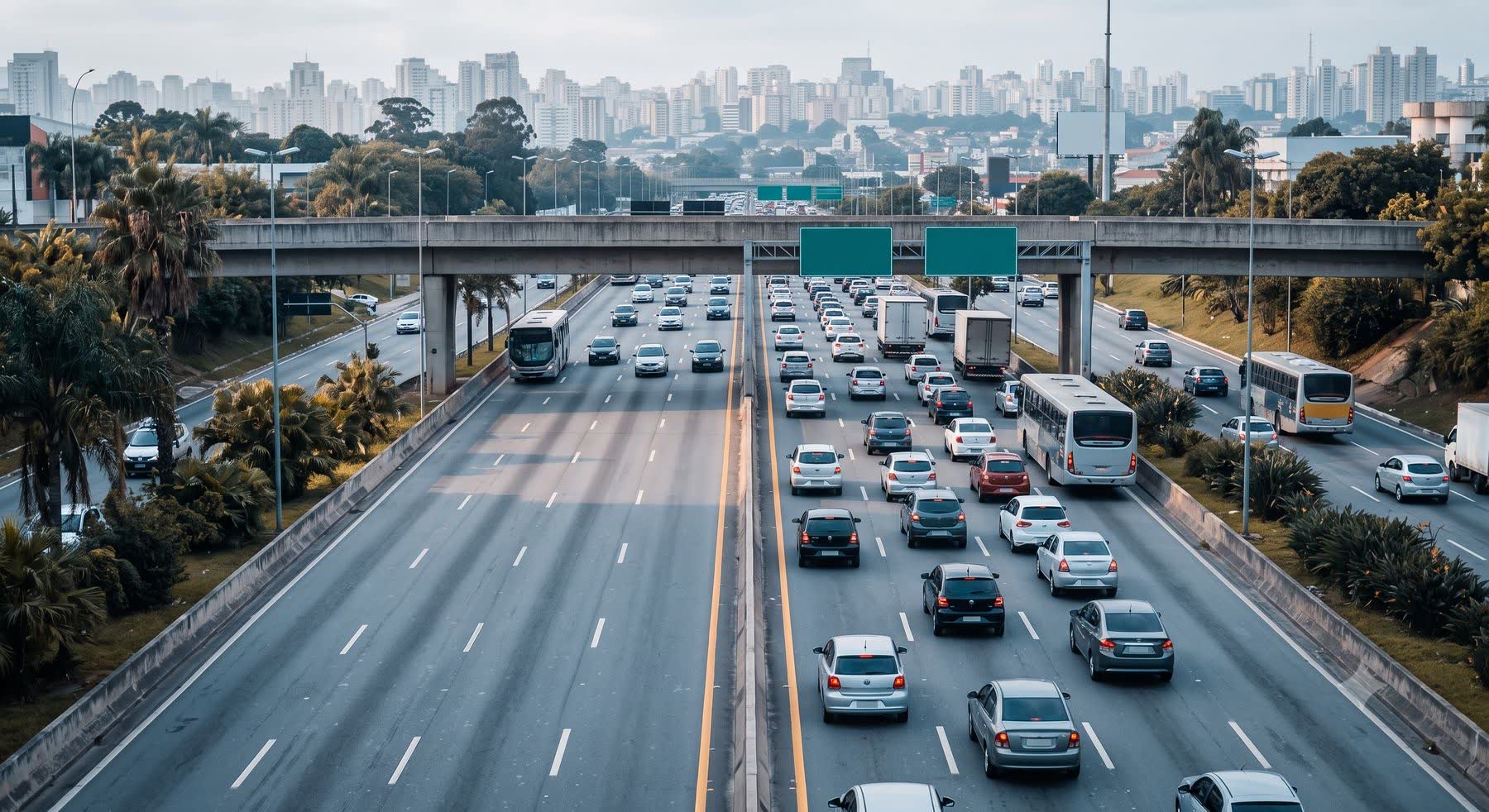
Capture at traffic speed
Vehicle instrumented with a Ladybug 30 MP camera, RTK/PPP GPS and an inertial system. It captures the imagery without disrupting traffic.
Field quality control
OMNI7 monitors coverage in real time, so sections with faults can be redone within the same mobilisation.
Processing and delivery
Standardised classification, coverage report and a final package in GIS.
What you receive
- Georeferenced 360° video with coordinates and a date on every frame
- Coverage report by section and direction
- Inventory database in Shapefile, KMZ and CSV, interoperable with every GIS on the market
- Export to the ViDA software when combined with the iRAP assessment
- Processing tracked on the Omni platform [feature being rolled out]
- 38+ years
- of practice
- 100,000+ km
- surveyed
- Ladybug 30 MP
- 360° camera
- GPS PPP < 2.5 m
- accuracy
Technical specifications
| Camera | Ladybug 30 MP — bidirectional 360° video |
|---|---|
| Positioning | RTK/PPP GPS (accuracy < 2.5 m) with an inertial system (INS) |
| Operation | Capture at traffic speed, with no need to close the road |
| Coverage | Bidirectional, recorded by section and direction, with a capture date per frame |
| Delivery formats | Shapefile · CSV · KMZ · ViDA · docx · pdf |
Track and manage delivery on the OMNI7 platform
Data does not arrive only as a final package: on the OMNI7 management platform you follow the capture and the processing and then query and manage the asset inventory on a continuous basis. Discover OMNI7 →
Related projects
Via Araucária (PR) — 360° video record
Georeferenced continuous visual survey in both directions, including frontage roads and interchanges.
- 1,050 km
- main line, interchanges and frontage roads
- 2 directions
- of traffic
Pini Group — Teresa Cristina Railway (SC)
360° video filming and register of the railway elements to support the concession project for the railway.
- 163 km
- of railway
- Concession
- input to the project
Frequently asked questions
Does traffic have to be interrupted for the survey?
No. The capture is made at normal traffic speed, without interruption, using a camera mounted on an instrumented vehicle.
Does it meet the contractual periodic inventory obligation?
Yes — the methodology is applied in concession contracts supervised by ANTT and ARTESP, with a record by section and capture date.
Do you process video we already have?
We carry out the classification and the asset register on third-party 360° video (BYO data), applying the same quality control standard.
What is the difference between the CVS and a traditional survey?
The CVS captures the whole network in georeferenced 360° video in a single pass — without the multiple field mobilisations of a service-by-service survey.
Can the capture be followed before the final package arrives?
Yes — viewing the delivery on the Omni platform allows the captured section to be followed frame by frame throughout processing.
Does the survey cover both directions of the road?
The capture is bidirectional, with an independent record by section and direction — the coverage report shows exactly what was driven, with the capture date.
How do I know no section was left out?
OMNI7 follows coverage in real time during the capture; sections with faults are redone within the same mobilisation, and the final package includes the coverage report by section.
In which formats is the data delivered?
Shapefile, KMZ and CSV for GIS integration, ViDA when there is an associated iRAP assessment, and reports by section — to the same standard in every contract.
Need to update your network inventory?
One field pass, reliable primary data and monitoring on the Omni platform. Talk to a specialist.